Urban Lot Management
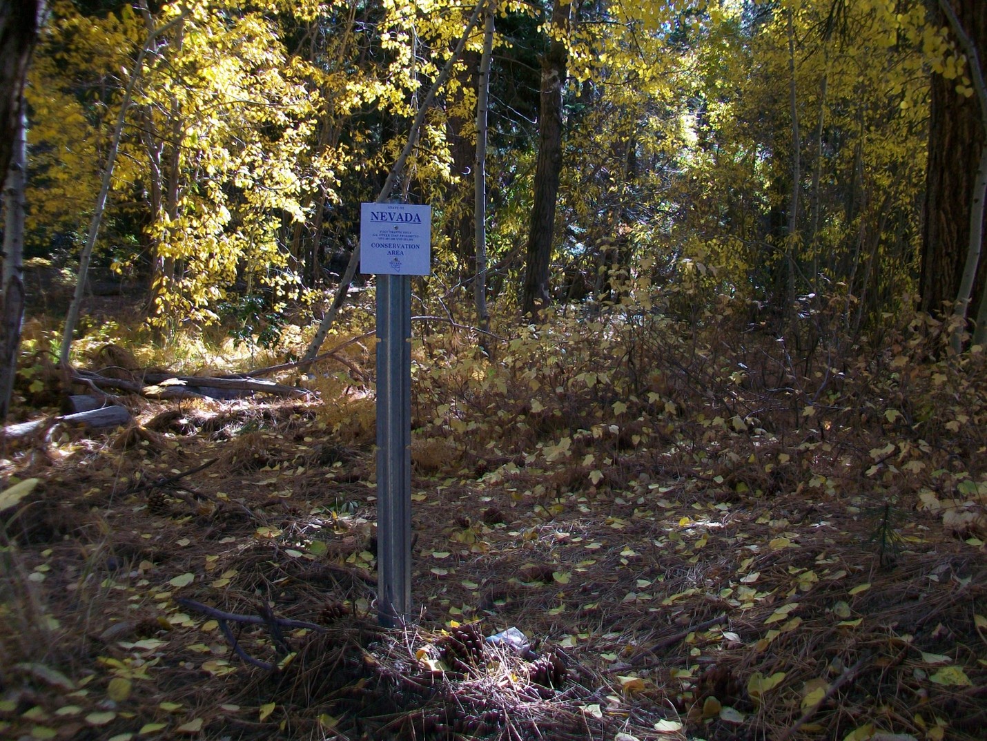
The Tahoe Bond Act was passed by Nevada voters to protect environmentally sensitive lands in the Lake Tahoe basin. The Act provided $31 million, of which 75% was used to acquire sensitive properties. Today the State Lands Forester along with the Nevada Tahoe Resource Team (NTRT) manage nearly 500 parcels in the urban environment comprising of 232 acres from Daggett Summit to Crystal Bay for erosion control, water quality, wildlife habitat, open space, and forest restoration. NTRT partners with the Nevada Division of Forestry, Nevada Division of Wildlife, North Lake Tahoe Fire Protection District, Tahoe Douglas Fire Protection District, and the Tahoe Regional Planning Agency to manage these parcels.
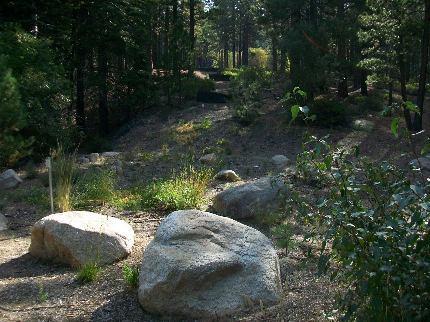
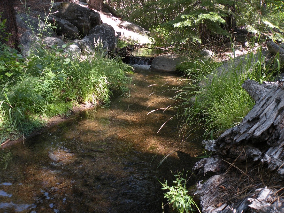
Diversity characterizes these unique Tahoe urban lands which range from 0.1 to 15 acres in size and are found in the wildland-urban intermix or adjacent to the forest. Vegetation communities present on the parcels include riparian/stream environment zone (aspen, willow, alder) to upland Jeffrey pine-white fir associations.
2023 NDSL Urban Lots Wildfire Fuels Reduction Information
View the NDSL Urban Lots Management Program 2023 Wildfire Fuels Reduction Operations Plan
Nevada Tahoe urban lands are found dispersed within key watersheds that flow to Lake Tahoe. An ongoing management priority is protecting these ecosystems which can filter out excess nutrients and sediment thereby reducing detrimental impacts to the Lake. These state lands, many of which are contiguous with one another, also provide important travel corridors for a variety of wildlife, as well as forage and habitat.
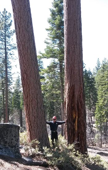
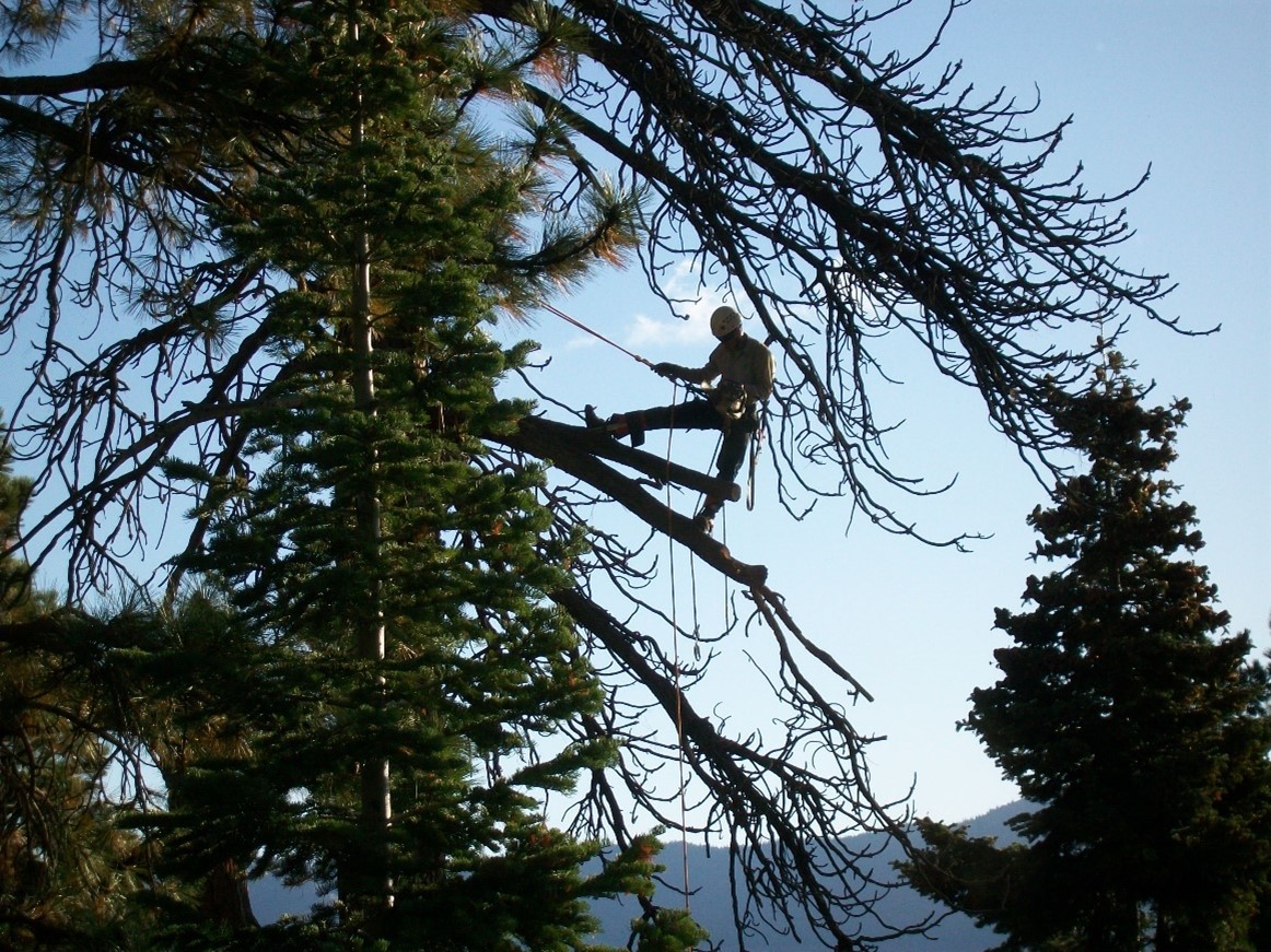
Thinning of forest stands, removal of ladder fuels, and re-introduction of fire in a fire-dependent ecosystem through prescribed fire are continuing goals and treatment methods used to manage forested state lands. Forest restoration focuses on managing disease and insect population levels, tree and shrub density, snag removal and retention, and dead fuels accumulation to produce greater ecosystem resiliency.
As a team of natural resource specialists, the NTRT also works to restore degraded land on urban parcels to its natural condition. Recent restoration treatments have included weed removal, soil and amendment additions, seeding, outplanting and barrier protection installation for sensitive ecosystems.